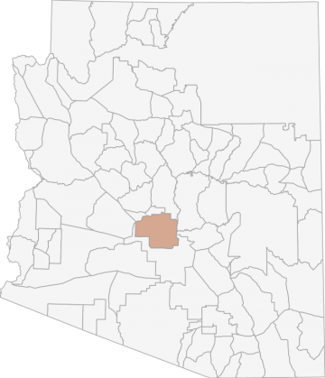
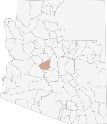
All Hunting in Arizona Game Management Unit 25M
Elevations stay below 2000 ft. Mostly urban landscape, with outlying areas comprised of lower Sonoran Desert habitat, creosote, mesquite, cacti. Many braided washes.
Scores
Access Notes
With A Free Account Get:
- All Access Information
- Satallite and Topo Layers
- Public Landownership Layers
- Roads and Trails Layers
- Burn Layers
- Water Tank Layer (AZ Only)
Beginning at the junction of 51st Ave. and I-10; west on I-10 to AZ Loop 303, northeasterly on AZ Loop 303 to I-17; north on I-17 to Carefree Hwy; east on Carefree Hwy to Cave Creek Rd.; northeasterly on Cave Creek Rd. to the Tonto National Forest boundary; easterly and southerly along the Tonto National Forest boundary to Fort McDowell Yavapai Nation boundary; northeasterly along the Fort McDowell Yavapai Nation boundary to the Verde River; southerly along the Verde River to the Salt River; southwesterly along the Salt River to the Tonto National Forest boundary; southerly along the Tonto National Forest boundary to Bush Hwy/Power Rd.; southerly on Bush Hwy/Power Rd to AZ Loop 202; easterly, southerly, and westerly on AZ Loop 202 to the intersection of Pecos Rd. at I-10; west on Pecos Rd. to the Gila River Indian Community boundary; northwesterly along the Gila River Indian Community boundary to 51st Ave; northerly on 51st Ave to I-10; except those portions that are sovereign tribal lands.
County islands (unincorporated lands) within the unit are open to hunting provided the hunter does not discharge a firearm within ¼ mile of an occupied building. Hunters need to be aware there are... Create a free account to read the rest of this access note!
All Notes
With A Free Account Get:
- Toggle between terrain, satellite, and topographic views
- Additional species-specific map layers
- Full screen maps
- Complete species hunting information
HuntScore Tip
Pronghorn hunting throughout Arizona is becoming more restrictive since many of the populations are located on or near private lands. This requires the hunter to adhere to restrictions that are not found on public lands.
State Agency Website
Visit Arizona Game and Fish DepartmentBusinesses Serving All Hunters In Game Management Unit 25M
Advertise Your Business!

Category: Guide/Outfitter
: 555-555-5555
About
Are you an outfitter, hunting guide, game processor or local hotel? Do you have landowner tags, lease land, or have an lodge? Advertise on HuntScore and reach hunters interested in this hunting unit! Send us an email at [email protected] to learn more. Read about advertising on huntscore here
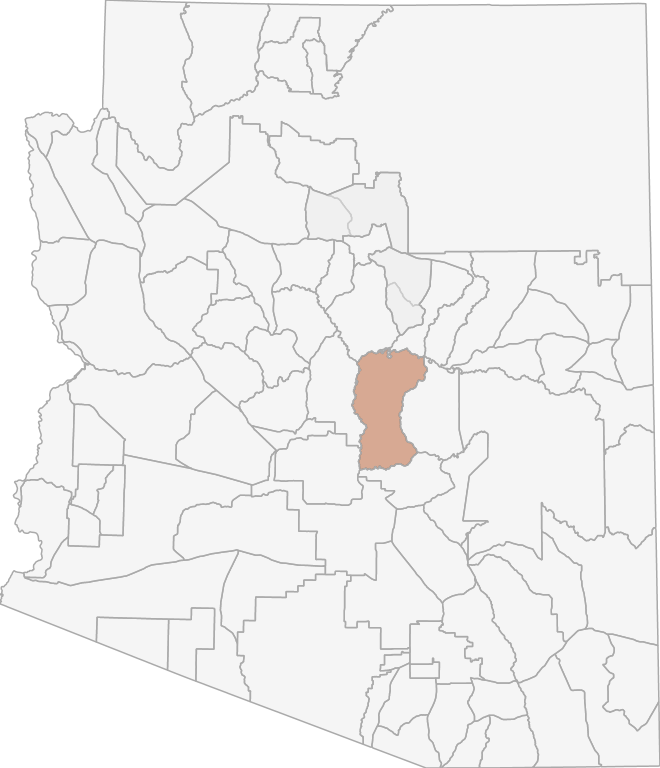
Photos and Terrain Notes
Elevations stay below 2000 ft. Mostly urban landscape, with outlying areas comprised of lower Sonoran Desert habitat, creosote, mesquite, cacti. Many braided washes.
... Create a free account to read the rest of this terrain note!Weather Insights
Weather can vary by elevation. See how weather varies by elevation within a unit by selecting an elevation range. Elevation ranges are based on weather stations in or near the unit. Not all weather elements are available within the unit.
Average Temps
Use temperature ranges to plan and prepare for your hunt. Large swings indicate a good layering system should be used. Be sure to make note of the extreme temperatures as these often pose the greatest risk to hunters. If you plan on hunting in higher elevation, as a rule of thumb, expect the tempture to decrease roughly 5° for every 1000' in elevation gain.
WITH A FREE ACCOUNT GET:
- Precip totals by month
- Snow depth by month
- Min/Max precip and snow depth
- Average # of days between precip or snow event
- Wind speed and wind direction by month
- Sunshine and cloud cover stats by month
- Probability of other weather events (thunder, hail, etc...) by by month
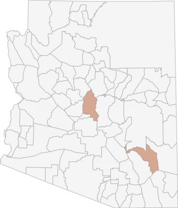
Similar Nearby All Units
TrailHead Chatter
With A Free Account Get:
- Ability to read comments
- Ability to post comments
- Ability to upvote and downvote comments