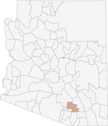
All Hunting in Arizona Game Management Unit 38M
Saguaro National Park is closed to all hunting. The boundary of Saguaro National Park is not always fenced and/or signed (especially in the southeastern portion of the park). Hunters should have a map or a GPS unit with land status to determine where th
Scores
Access Notes
With A Free Account Get:
- All Access Information
- Satallite and Topo Layers
- Public Landownership Layers
- Roads and Trails Layers
- Burn Layers
- Water Tank Layer (AZ Only)
Beginning at the junction of I-10 and Tangerine Rd. (Exit 240); southeast on I-10 to Avra Valley Rd. (Exit 242); west on Avra Valley Rd. to Sandario Rd.; south on Sandario Rd. to the San Xavier Indian Reservation boundary; south and east along the reservation boundary to I-19; south on I-19 to Sahuarita Rd. (Exit 75); east on Sahuarita Rd. to AZ Hwy 83; north on AZ Hwy 83 to I-10 (Exit 281); east on I-10 to Marsh Station Rd. (Exit 289); northwest on Marsh Station Rd. to the Agua Verde Rd.; north on the Agua Verde Rd. to its terminus, then north 1/2 mile to the Coronado National Forest boundary; north and west along the National Forest boundary, then west, north, and east along the Saguaro National Park boundary; continuing north and west along the Coronado National Forest boundary to the southern boundary of Catalina State Park; west along the southern boundary of Catalina State Park to AZ Hwy 77; north on AZ Hwy 77 to Tangerine Rd.; west on Tangerine Rd. to I-10.
Open areas do not include any municipal (city) parks, municipal (city) preserves, county parks, county preserves, airports, golf courses, or posted water treatment facilities except as specificall... Create a free account to read the rest of this access note!
All Notes
With A Free Account Get:
- Toggle between terrain, satellite, and topographic views
- Additional species-specific map layers
- Full screen maps
- Complete species hunting information
HuntScore Tip
As with most big game hunting, peak mule deer activity periods are early morning and late evening. Be in your hunting area during these times. Hunters who get out and work the areas on foot are usually more successful than those hunters who stay close to roads. Utilize your binoculars and cover hillsides carefully before moving on.
State Agency Website
Visit Arizona Game and Fish DepartmentBusinesses Serving All Hunters In Game Management Unit 38M
Advertise Your Business!

Category: Guide/Outfitter
: 555-555-5555
About
Are you an outfitter, hunting guide, game processor or local hotel? Do you have landowner tags, lease land, or have an lodge? Advertise on HuntScore and reach hunters interested in this hunting unit! Send us an email at [email protected] to learn more. Read about advertising on huntscore here
Photos and Terrain Notes
All Harvest Stats (2020)
| Manner | Season | Type | Sex | Hunters | Harvest | Male | Female | Youth |
|---|---|---|---|---|---|---|---|---|
|
|
N/A | 0 | 1 |
0
|
0
|
0
|
Go Pro and get:
- Most up to date data!
- Harvest trends across multiple years
- Harvest stats by hunt_code, manner, season, sex, type
- Average harvest rates
- Average days per hunter
- Overall harvest trends
See all stats but the last 2 years with a free account!
Weather Insights
Weather can vary by elevation. See how weather varies by elevation within a unit by selecting an elevation range. Elevation ranges are based on weather stations in or near the unit. Not all weather elements are available within the unit.
Average Temps
Use temperature ranges to plan and prepare for your hunt. Large swings indicate a good layering system should be used. Be sure to make note of the extreme temperatures as these often pose the greatest risk to hunters. If you plan on hunting in higher elevation, as a rule of thumb, expect the tempture to decrease roughly 5° for every 1000' in elevation gain.
WITH A FREE ACCOUNT GET:
- Precip totals by month
- Snow depth by month
- Min/Max precip and snow depth
- Average # of days between precip or snow event
- Wind speed and wind direction by month
- Sunshine and cloud cover stats by month
- Probability of other weather events (thunder, hail, etc...) by by month
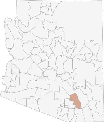
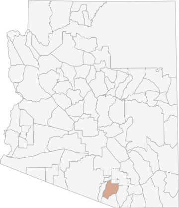
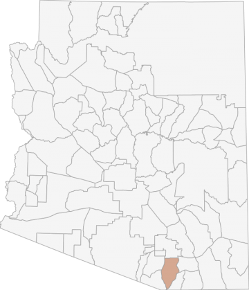
Similar Nearby All Units
TrailHead Chatter
With A Free Account Get:
- Ability to read comments
- Ability to post comments
- Ability to upvote and downvote comments