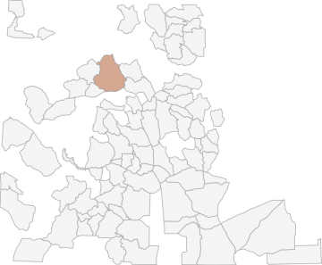
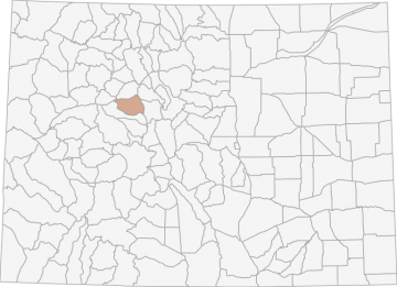
All Hunting in Colorado GMU 35 - Eagle County
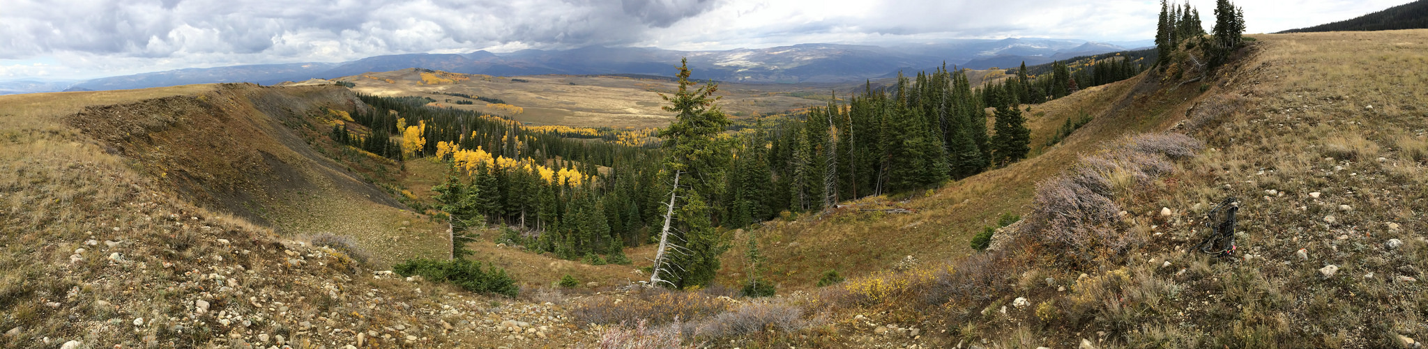
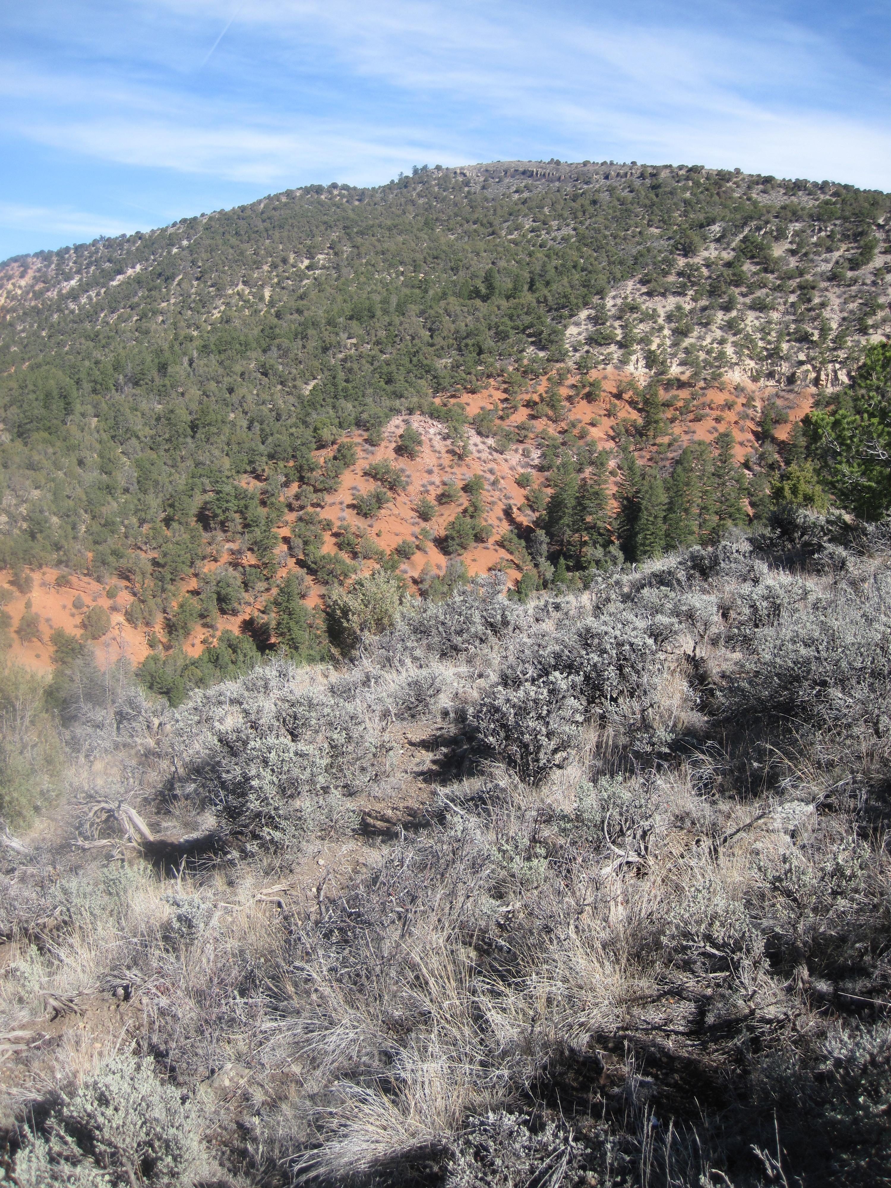
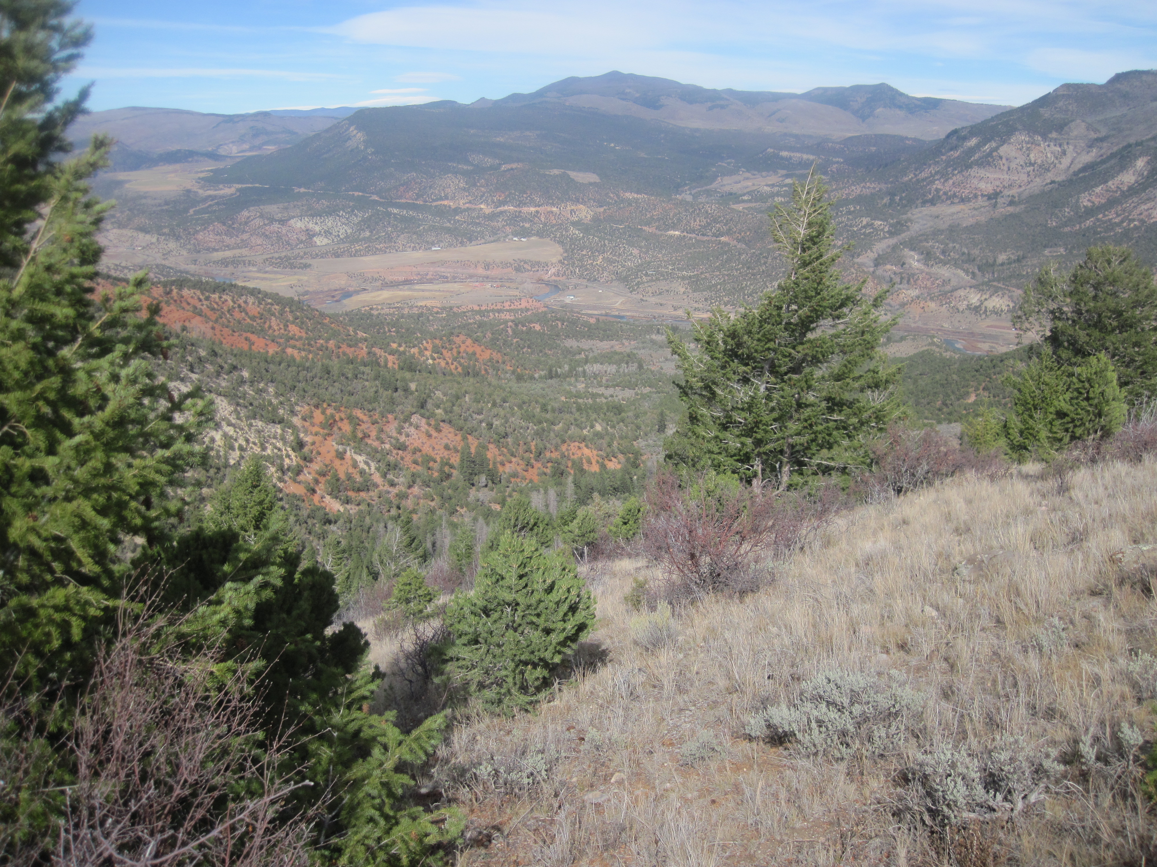
Elevation climbs from 6,000ft with sage and piñon to over 14,000ft with alpine vegetation starting at 10,500ft.
Scores
Access Notes
With A Free Account Get:
- All Access Information
- Satallite and Topo Layers
- Public Landownership Layers
- Roads and Trails Layers
- Burn Layers
- Water Tank Layer (AZ Only)
Bounded on N by Colorado River; on E by County Highway 131; on S by Eagle River; on W by Colorado River.
GMUs 35 and 44 have some public access. However, the northern part of GMU 44 between Edwards and Eagle is primarily private property with no hunting allowed.
... Create a free account to read the rest of this access note!All Notes
With A Free Account Get:
- Toggle between terrain, satellite, and topographic views
- Additional species-specific map layers
- Full screen maps
- Complete species hunting information
HuntScore Tip
Public land and private land percentages can sometime be misleading. A unit may have 80% public land, but a particluar species may only occupy 20% on the entire area. And that 20% species distribution may lie 100% within private lands. Does that sound confusing? Just remember that there are always exceptions to the rule, and land ownership is just one piece of the puzzle.
State Agency Website
Visit Colorado Parks and WildlifeBusinesses Serving All Hunters In GMU 35 - Eagle County
Advertise Your Business!

Category: Guide/Outfitter
: 555-555-5555
About
Are you an outfitter, hunting guide, game processor or local hotel? Do you have landowner tags, lease land, or have an lodge? Advertise on HuntScore and reach hunters interested in this hunting unit! Send us an email at [email protected] to learn more. Read about advertising on huntscore here
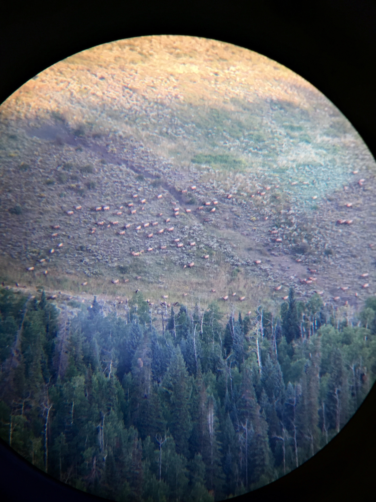
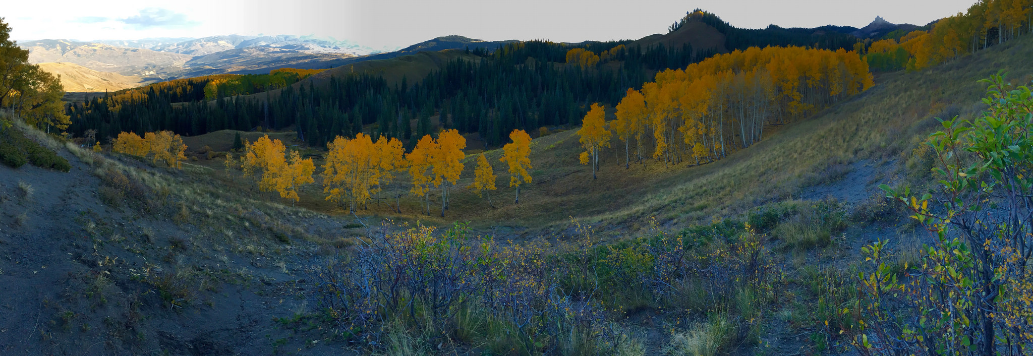
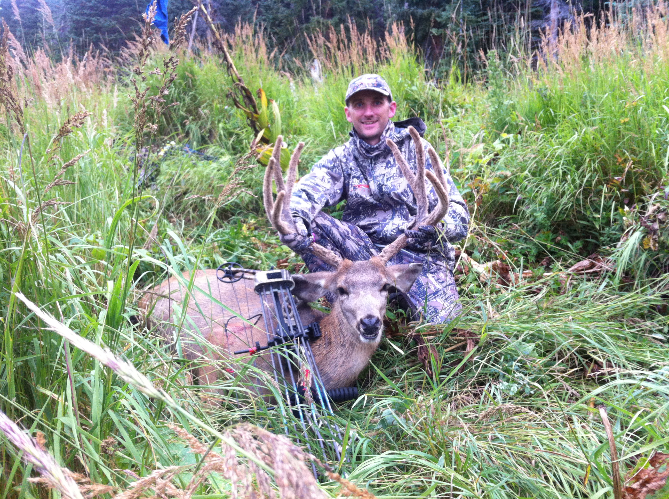
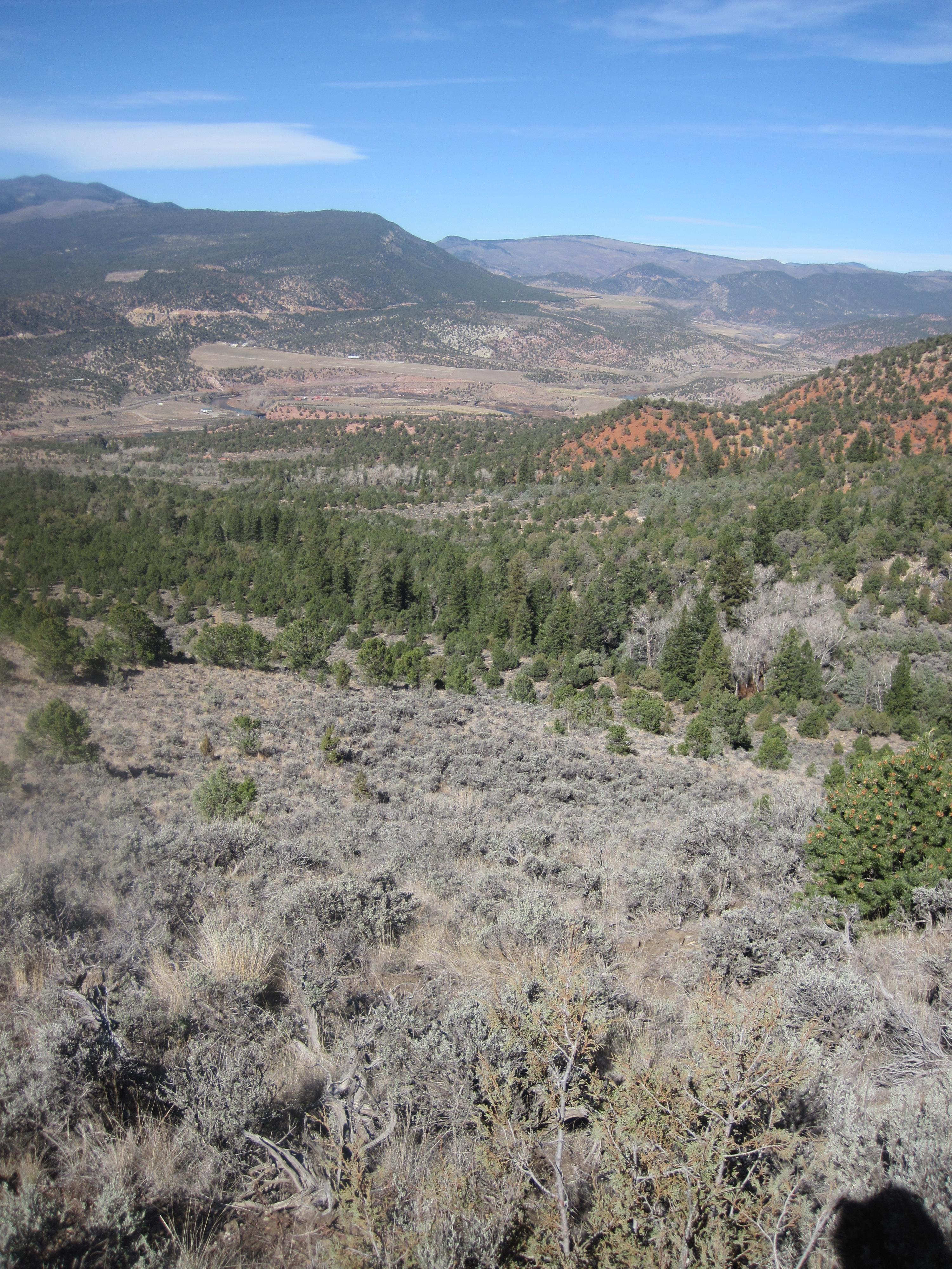
Photos and Terrain Notes
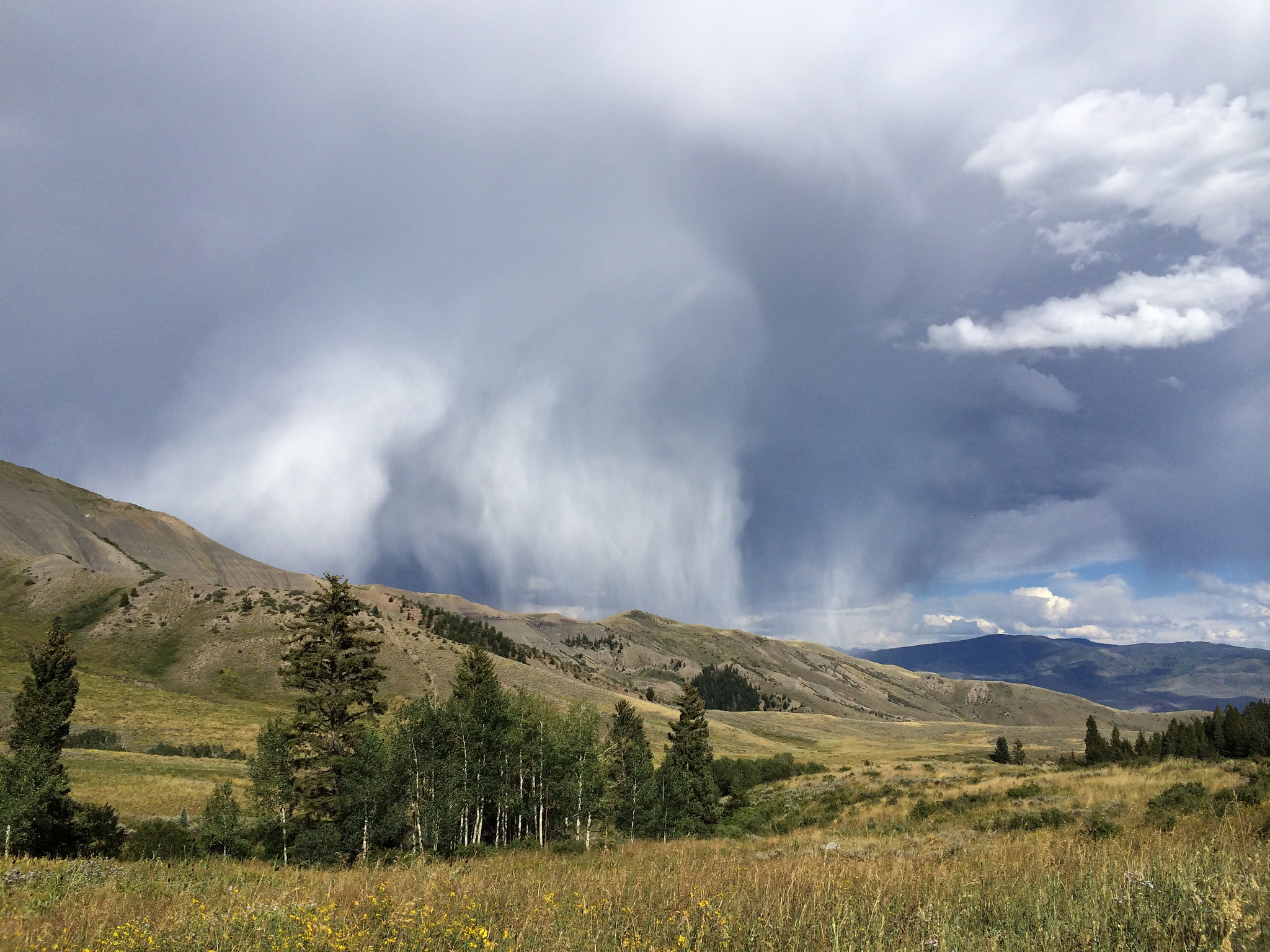
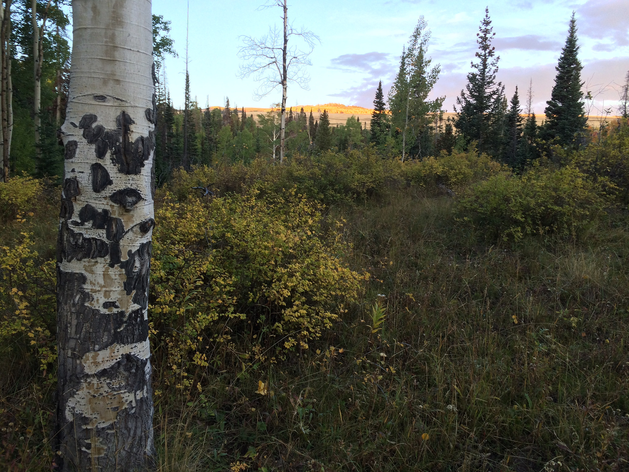
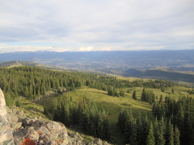
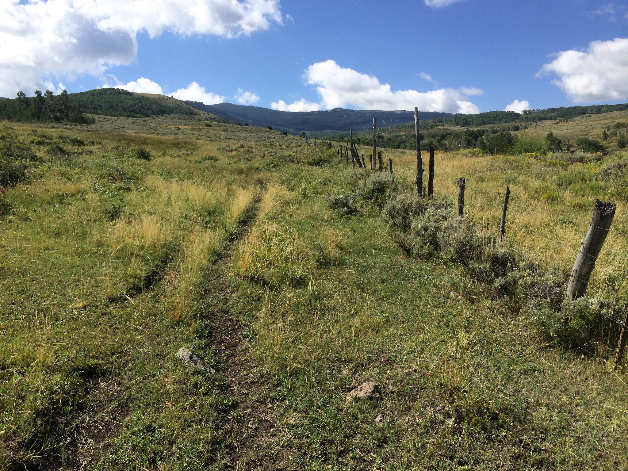
Elevation climbs from 6,000ft with sage and piñon to over 14,000ft with alpine vegetation starting at 10,500ft.
... Create a free account to read the rest of this terrain note!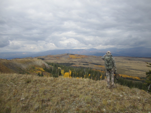
All Over The Counter Hunts (2023)
There are 6 OTC hunts in this unit. Get a free account to view the details!
With a free account get:
- Most up to date data!
- The ability to filter OTC units by residency and manner/sex
- Over the counter unit hunts listed with:
- Residency Requirements
- Season and Manner of Take Restrictions
- Season Dates
All Harvest Stats (2022)
| Manner | Season | Type | Sex | Hunters | Harvest | Male | Female | Youth |
|---|---|---|---|---|---|---|---|---|
|
A
|
A
|
|
N/A | 256 | 11 |
0
|
11
|
0
|
|
A
|
A
|
LL
|
N/A | 59 | 8 |
8
|
0
|
0
|
|
A
|
A
|
|
E
|
0 | 1 |
1
|
0
|
0
|
|
ALL
|
ALL
|
|
E
|
0 | 3 |
2
|
1
|
0
|
|
ALL
|
ALL
|
|
N/A | 954 | 131 |
64
|
62
|
0
|
|
ALL
|
ALL
|
LL
|
N/A | 863 | 375 |
340
|
31
|
0
|
|
AS
|
AS
|
|
E
|
0 | 2 |
2
|
0
|
0
|
|
CR
|
CR
|
|
E
|
0 | 1 |
0
|
1
|
0
|
|
M
|
M
|
LL
|
N/A | 74 | 15 |
15
|
0
|
0
|
|
M
|
M
|
|
N/A | 83 | 7 |
3
|
4
|
0
|
|
M
|
M
|
|
E
|
0 | 0 |
0
|
0
|
0
|
|
P0
|
P0
|
|
E
|
0 | 0 |
0
|
0
|
0
|
|
PX
|
PX
|
|
E
|
0 | 0 |
0
|
0
|
0
|
|
R
|
O4
|
LL
|
E
|
33 | 9 |
0
|
9
|
0
|
|
R
|
R
|
LL
|
N/A | 729 | 353 |
318
|
31
|
0
|
|
R
|
R
|
|
N/A | 615 | 113 |
60
|
47
|
0
|
|
R
|
PLO
|
PLO
|
N/A | 40 | 13 |
0
|
13
|
0
|
|
R
|
R
|
|
E
|
0 | 1 |
1
|
0
|
0
|
|
R
|
PLO
|
PLO
|
N/A | 40 | 13 |
0
|
13
|
0
|
|
R
|
O4
|
LL
|
N/A | 10 | 2 |
2
|
0
|
0
|
|
R
|
O4
|
|
N/A | 33 | 9 |
0
|
9
|
0
|
|
R
|
O2
|
LL
|
F
|
56 | 0 |
0
|
0
|
0
|
|
R
|
O3
|
LL
|
N/A | 292 | 157 |
147
|
11
|
0
|
|
R
|
O3
|
|
N/A | 196 | 38 |
21
|
14
|
0
|
|
R
|
O3
|
LL
|
F
|
41 | 17 |
0
|
14
|
0
|
|
R
|
O2
|
|
N/A | 245 | 34 |
34
|
0
|
0
|
|
R
|
O2
|
LL
|
N/A | 427 | 193 |
169
|
21
|
0
|
|
R
|
O1
|
|
N/A | 94 | 12 |
5
|
5
|
0
|
|
R
|
O1
|
LL
|
E
|
47 | 8 |
5
|
3
|
0
|
|
R
|
O1
|
LL
|
F
|
47 | 4 |
0
|
2
|
0
|
|
R
|
L0
|
|
N/A | 7 | 7 |
0
|
7
|
0
|
|
R
|
L0
|
|
N/A | 7 | 7 |
0
|
7
|
0
|
|
SG
|
S
|
LL
|
N/A | 16 | 8 |
0
|
0
|
0
|
Go Pro and get:
- Most up to date data!
- Harvest trends across multiple years
- Harvest stats by hunt_code, manner, season, sex, type
- Average harvest rates
- Average days per hunter
- Overall harvest trends
See all stats but the last 2 years with a free account!
Weather Insights
Weather can vary by elevation. See how weather varies by elevation within a unit by selecting an elevation range. Elevation ranges are based on weather stations in or near the unit. Not all weather elements are available within the unit.
Average Temps
Use temperature ranges to plan and prepare for your hunt. Large swings indicate a good layering system should be used. Be sure to make note of the extreme temperatures as these often pose the greatest risk to hunters. If you plan on hunting in higher elevation, as a rule of thumb, expect the tempture to decrease roughly 5° for every 1000' in elevation gain.
WITH A FREE ACCOUNT GET:
- Precip totals by month
- Snow depth by month
- Min/Max precip and snow depth
- Average # of days between precip or snow event
- Wind speed and wind direction by month
- Sunshine and cloud cover stats by month
- Probability of other weather events (thunder, hail, etc...) by by month
Similar Nearby All Units

TrailHead Chatter
With A Free Account Get:
- Ability to read comments
- Ability to post comments
- Ability to upvote and downvote comments