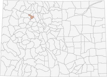
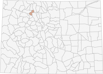
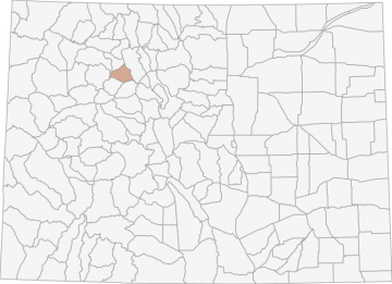
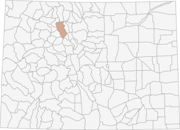
All Hunting in Colorado GMU 231 - Routt, Rio Blanco, and Garfield Counties
From a low of 6,300 to 12,000ft along the Continental Divide. The Routt National Forest dominates the eastern 2/3 of the Upper Yampa units with coniferous forests and aspen. Mountain shrub and rolling sage cover the low country.
Scores
Access Notes
With A Free Account Get:
- All Access Information
- Satallite and Topo Layers
- Public Landownership Layers
- Roads and Trails Layers
- Burn Layers
- Water Tank Layer (AZ Only)
Bounded on N by Routt County Roads 29, 132A, 25, 132 and 15; on E by County Highway 131; on S by Bear River; on W by Williams Fork-Yampa River divide to Dunkley Pass, Rio Blanco County Roads 8 and 19 and Routt County Road 55.
Most of the land outside of the national forest is private land. Hunting pressure is heavy. Hunters will have better success and enjoy more solitude by walking into remote areas.
... Create a free account to read the rest of this access note!All Notes
With A Free Account Get:
- Toggle between terrain, satellite, and topographic views
- Additional species-specific map layers
- Full screen maps
- Complete species hunting information
HuntScore Tip
Many units in pronghorn country are located on private land. However, many have been rated as good access locations. Landowners are more likely to give you permission to hunt pronghorn than deer.
State Agency Website
Visit Colorado Parks and WildlifeBusinesses Serving All Hunters In GMU 231 - Routt, Rio Blanco, and Garfield Counties
Advertise Your Business!

Category: Guide/Outfitter
: 555-555-5555
About
Are you an outfitter, hunting guide, game processor or local hotel? Do you have landowner tags, lease land, or have an lodge? Advertise on HuntScore and reach hunters interested in this hunting unit! Send us an email at [email protected] to learn more. Read about advertising on huntscore here
Photos and Terrain Notes
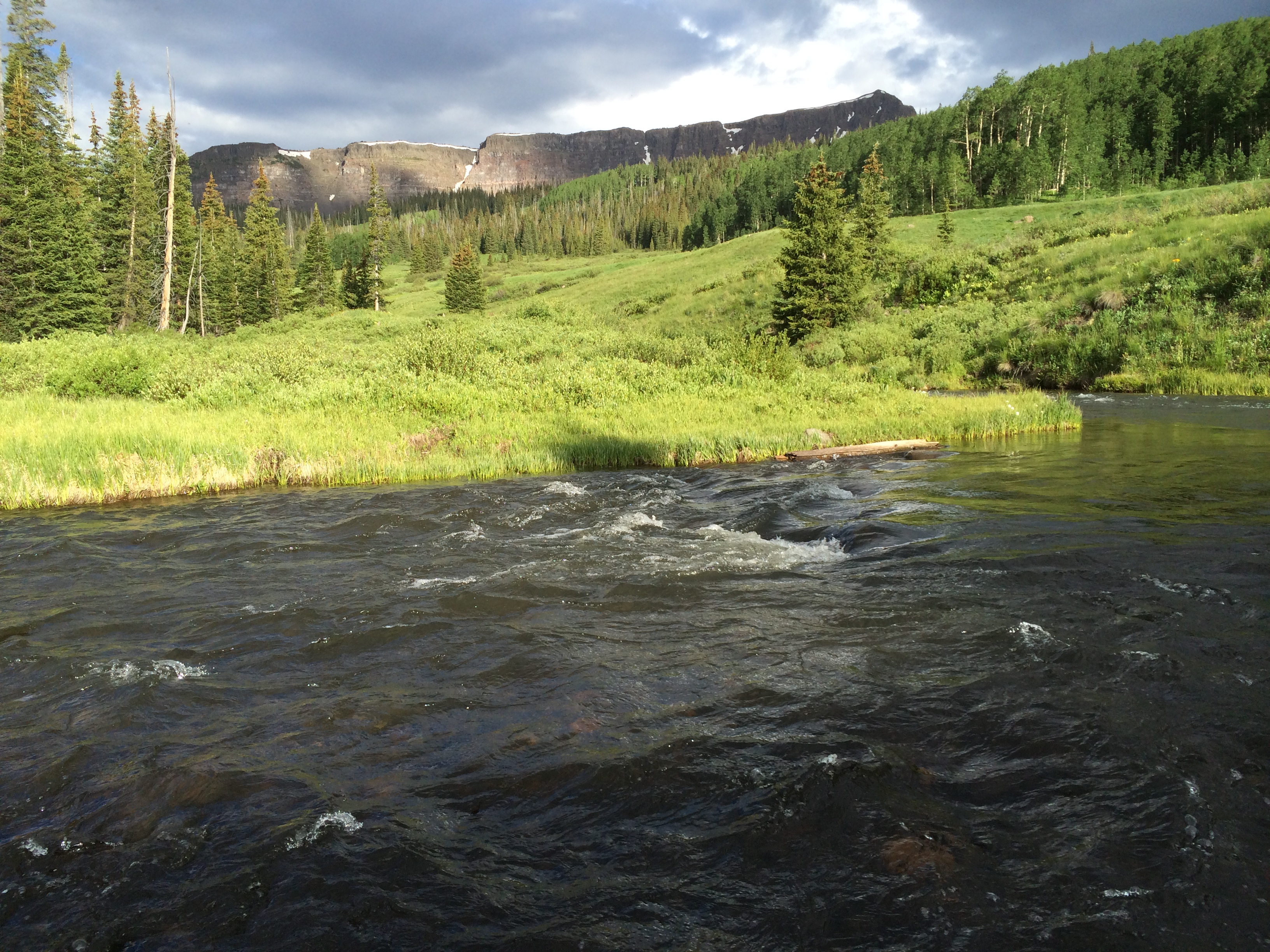
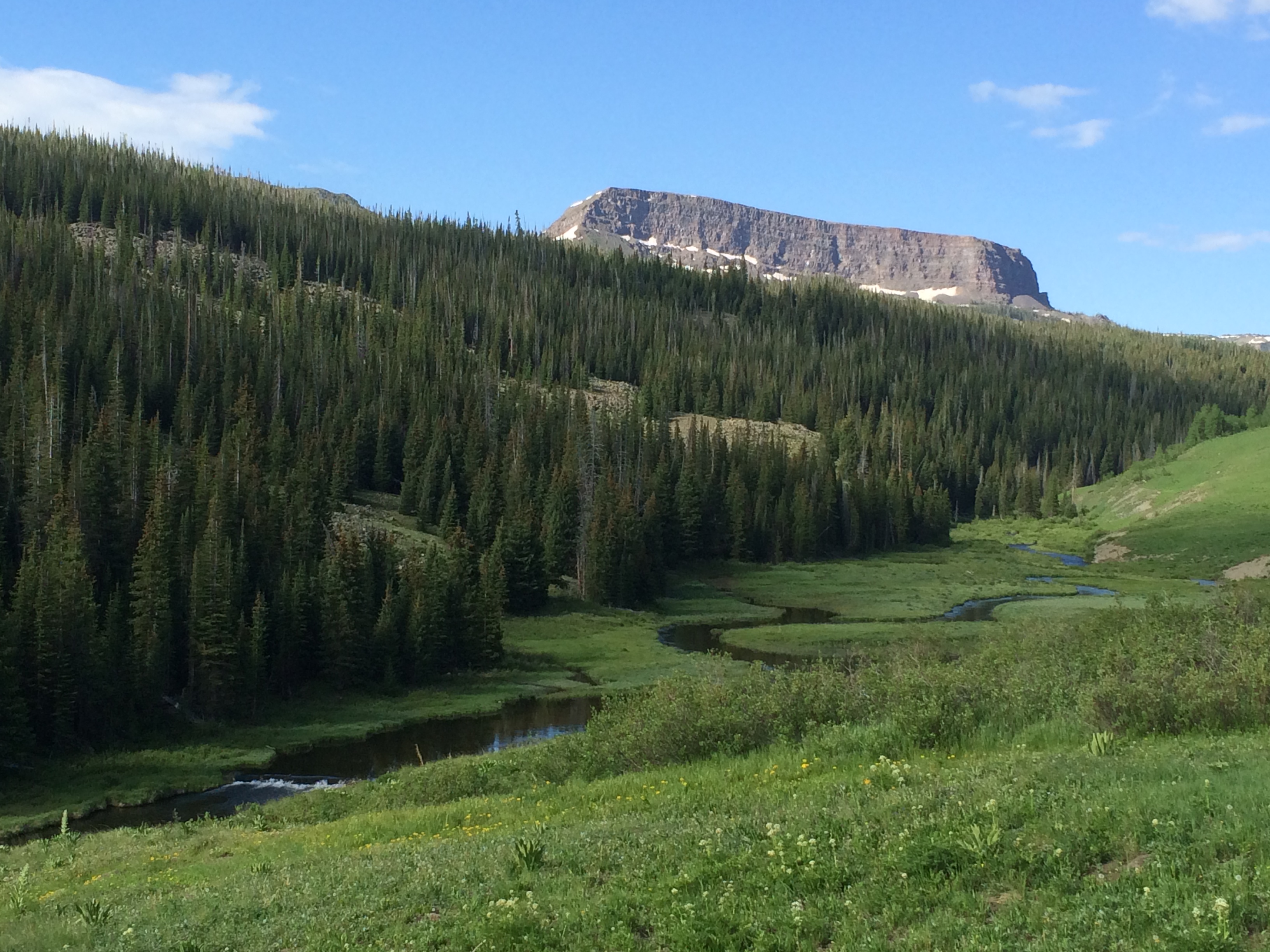
From a low of 6,300 to 12,000ft along the Continental Divide. The Routt National Forest dominates the eastern 2/3 of the Upper Yampa units with coniferous forests and aspen. Mountain shrub and roll... Create a free account to read the rest of this terrain note!
All Over The Counter Hunts (2023)
There are 7 OTC hunts in this unit. Get a free account to view the details!
With a free account get:
- Most up to date data!
- The ability to filter OTC units by residency and manner/sex
- Over the counter unit hunts listed with:
- Residency Requirements
- Season and Manner of Take Restrictions
- Season Dates
All Harvest Stats (2022)
| Manner | Season | Type | Sex | Hunters | Harvest | Male | Female | Youth |
|---|---|---|---|---|---|---|---|---|
|
A
|
A
|
LL
|
N/A | 37 | 11 |
4
|
7
|
0
|
|
A
|
A
|
|
E
|
0 | 5 |
2
|
3
|
0
|
|
A
|
A
|
|
N/A | 1002 | 61 |
51
|
10
|
0
|
|
ALL
|
ALL
|
|
E
|
0 | 6 |
3
|
3
|
0
|
|
ALL
|
ALL
|
|
N/A | 2206 | 315 |
184
|
125
|
0
|
|
ALL
|
ALL
|
LL
|
N/A | 160 | 35 |
26
|
9
|
0
|
|
AS
|
AS
|
|
E
|
0 | 6 |
3
|
3
|
0
|
|
M
|
M
|
|
N/A | 91 | 8 |
3
|
5
|
0
|
|
M
|
M
|
LL
|
N/A | 35 | 8 |
8
|
0
|
0
|
|
M
|
M
|
|
E
|
0 | 1 |
1
|
0
|
0
|
|
R
|
O3
|
LL
|
F
|
52 | 9 |
0
|
5
|
0
|
|
R
|
R
|
LL
|
N/A | 88 | 16 |
14
|
2
|
0
|
|
R
|
PLO
|
PLO
|
N/A | 104 | 50 |
6
|
44
|
0
|
|
R
|
PLO
|
PLO
|
N/A | 63 | 29 |
0
|
29
|
0
|
|
R
|
O4
|
|
N/A | 44 | 4 |
0
|
3
|
0
|
|
R
|
O4
|
LL
|
M
|
26 | 0 |
0
|
0
|
0
|
|
R
|
O4
|
LL
|
F
|
12 | 4 |
0
|
3
|
0
|
|
R
|
O2
|
LL
|
N/A | 63 | 14 |
13
|
2
|
0
|
|
R
|
O3
|
|
N/A | 179 | 31 |
14
|
13
|
0
|
|
R
|
O3
|
LL
|
N/A | 26 | 2 |
2
|
0
|
0
|
|
R
|
O2
|
LL
|
F
|
121 | 17 |
0
|
17
|
0
|
|
R
|
O2
|
|
N/A | 306 | 56 |
32
|
24
|
0
|
|
R
|
O1
|
|
N/A | 522 | 126 |
85
|
41
|
0
|
|
R
|
O1
|
LL
|
M
|
259 | 80 |
80
|
0
|
0
|
|
R
|
O1
|
LL
|
F
|
252 | 41 |
0
|
41
|
0
|
|
R
|
R
|
|
N/A | 1113 | 245 |
130
|
109
|
0
|
Go Pro and get:
- Most up to date data!
- Harvest trends across multiple years
- Harvest stats by hunt_code, manner, season, sex, type
- Average harvest rates
- Average days per hunter
- Overall harvest trends
See all stats but the last 2 years with a free account!
Weather Insights
Weather can vary by elevation. See how weather varies by elevation within a unit by selecting an elevation range. Elevation ranges are based on weather stations in or near the unit. Not all weather elements are available within the unit.
Average Temps
Use temperature ranges to plan and prepare for your hunt. Large swings indicate a good layering system should be used. Be sure to make note of the extreme temperatures as these often pose the greatest risk to hunters. If you plan on hunting in higher elevation, as a rule of thumb, expect the tempture to decrease roughly 5° for every 1000' in elevation gain.
WITH A FREE ACCOUNT GET:
- Precip totals by month
- Snow depth by month
- Min/Max precip and snow depth
- Average # of days between precip or snow event
- Wind speed and wind direction by month
- Sunshine and cloud cover stats by month
- Probability of other weather events (thunder, hail, etc...) by by month
Similar Nearby All Units
TrailHead Chatter
With A Free Account Get:
- Ability to read comments
- Ability to post comments
- Ability to upvote and downvote comments