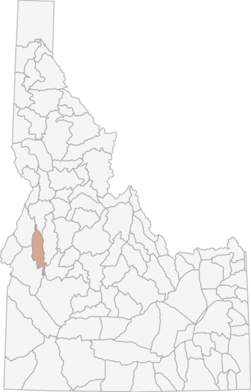
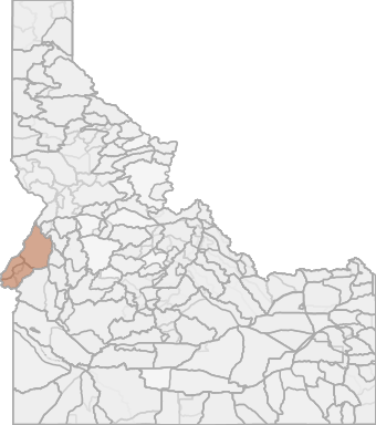
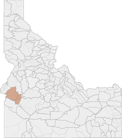
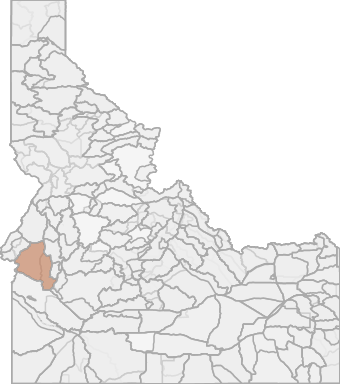
Black Bear Hunting in Idaho Unit 32A - Weiser River Elk Zone - Southwest Region - Region 3
The terrain in this unit is approximately 61% forest, 2% argriculture, and 38% rangeland.
Scores
Access Notes
With A Free Account Get:
- All Access Information
- Satallite and Topo Layers
- Public Landownership Layers
- Roads and Trails Layers
- Burn Layers
- Water Tank Layer (AZ Only)
Those portions of Adams, Gem, Valley, and Washington counties within the following boundary: beginning at U.S. 95 on the watershed divide between Weiser River and Mud Creek, then southeast along the watershed divide between Weiser River and Little Salmon River to No Business Lookout, then south along the watershed divide between Weiser River and North Fork Payette River to Lookout Peak, then south along the watershed divide between Squaw Creek and North Fork Payette River to the Smiths Ferry-Ola Road, then northeast on Smiths Ferry-Ola Road to Smiths Ferry, then down the North Fork to Banks, then northwest on the Banks-Dry Buck-High Valley Road to the OlaHigh Valley Road, then west on Ola-High Valley Road to Ola, then north on the Squaw Creek Road to the Sheep Creek Road, then west on the Sheep Creek Road to the Emmett-Council Road, then north on Emmett-Council Road to U.S. 95 in Indian Valley, then north on U.S. 95 to the watershed divide between the Weiser River and Mud Creek, the point of beginning.
Black Bear Notes
With A Free Account Get:
- Toggle between terrain, satellite, and topographic views
- Additional species-specific map layers
- Full screen maps
- Complete species hunting information
HuntScore Tip
The quality of your hunt depends on you. Preseason scouting, preparation for the environmental conditions, and physical conditioning are important factors. The success and quality of your hunt will likely increase with the distance from your vehicle and roads.
State Agency Website
Visit Idaho Fish and GameBusinesses Serving Black-bear Hunters In Unit 32A - Weiser River Elk Zone - Southwest Region - Region 3
Advertise Your Business!

Category: Guide/Outfitter
: 555-555-5555
About
Are you an outfitter, hunting guide, game processor or local hotel? Do you have landowner tags, lease land, or have an lodge? Advertise on HuntScore and reach hunters interested in this hunting unit! Send us an email at [email protected] to learn more. Read about advertising on huntscore here
Photos and Terrain Notes
The terrain in this unit is approximately 61% forest, 2% argriculture, and 38% rangeland.
... Create a free account to read the rest of this terrain note!Similar Nearby Black-bear Units
TrailHead Chatter
With A Free Account Get:
- Ability to read comments
- Ability to post comments
- Ability to upvote and downvote comments