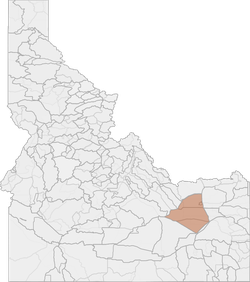
Deer Hunting in Idaho Unit 63 (Controlled Hunt Oppty.): Snake River Zone
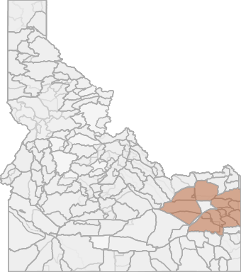
The Snake River DAU has GMUs in both eastern and western Idaho, but these GMUs share common characteristics. Land ownership is a mix of federal, state, tribal, and private and includes Craters of the Moon National Monument in GMU 68 and Idaho National ...
Scores
Access Notes
Land Ownership
Legend
Deer Notes
The Snake River DAU has GMUs in both eastern and western Idaho, but these GMUs share common characteristics. Land ownership is a mix of federal, state, tribal, and private and includes Craters of t... Create a free account to read the rest of this deer hunting note!
HuntScore Tip
The quality of your hunt depends on you. Preseason scouting, preparation for the environmental conditions, and physical conditioning are important factors. The success and quality of your hunt will likely increase with the distance from your vehicle and roads.
State Agency Website
Visit Idaho Fish and GameBusinesses Serving Deer Hunters In Unit 63 (Controlled Hunt Oppty.): Snake River Zone
Advertise Your Business!

Category: Guide/Outfitter
: 555-555-5555
About
Are you an outfitter, hunting guide, game processor or local hotel? Do you have landowner tags, lease land, or have an lodge? Advertise on HuntScore and reach hunters interested in this hunting unit! Send us an email at [email protected] to learn more. Read about advertising on huntscore here
Photos and Terrain Notes
Unit Elevation Profile
HuntScore generates thousands of synthetic hikes in the unit to create an elevation profile. This profile is what you can expect to experience within a 2 mile hike from a road or trail in this unit.
Elevation in this unit ranges from 4442' to 6358' with a median elevation of 4839'. If you are preparing to hunt this unit you should train for hiking up and down slopes of 1.1%.
This is typical incline or decline experienced while hiking from a road or trail in the unit
Common Elevation Profiles
Similar Nearby Deer Units
TrailHead Chatter
With A Free Account Get:
- Ability to read comments
- Ability to post comments
- Ability to upvote and downvote comments