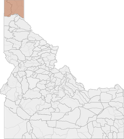
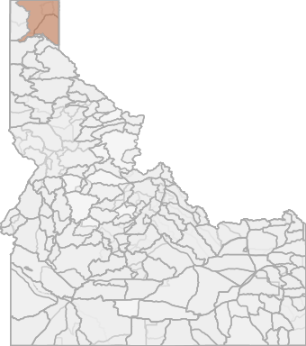
Elk Hunting in Idaho Unit 1 - Panhandle Elk Zone - Panhandle Region - Region 1
The terrain of this area varies from approximately 6% rangeland, 78% forest, and 15% dryland agriculture.

Scores
Access Notes
With A Free Account Get:
- All Access Information
- Satallite and Topo Layers
- Public Landownership Layers
- Roads and Trails Layers
- Burn Layers
- Water Tank Layer (AZ Only)
All of Boundary County and that portion of Bonner County north of the Pend Oreille River, Pend Oreille Lake and Clark Fork River. Myrtle Creek and David Thompson game preserves Ì closed. 1-1: That portion of Unit 1 within the Priest River drainage, and within the Pend Oreille River drainage, downstream from Priest River 1-2: That portion of Unit 1 within the following boundaries: beginning on U.S. Highway 95 bridge across the Pend Oreille River at Sandpoint, then northward along Highway 95 to the Kootenai River at BonnerÌ¥s Ferry, then northwesterly along the Kootenai River to the U.S. border, then west along the U.S. border to the Priest River-Kootenai River divide, then south along the Priest River-Pack River divide to Flat Top Mountain, then south along the divide separating the Priest River drainage and the Pend Oreille drainage to Priest River, then east along the Pend Oreille River to the point of beginning. Except Myrtle Creek Game Preserve Ì Closed. 1-3: That portion of Unit 1 north and east of the Kootenai River. 1-4: That portion of Unit 1 south of the Kootenai River and east of U.S. Highway 95. Except The David Thompson Game Preserve Ì Closed.
Elk Notes
With A Free Account Get:
- Toggle between terrain, satellite, and topographic views
- Additional species-specific map layers
- Full screen maps
- Complete species hunting information
HuntScore Tip
The quality of your hunt depends on you. Preseason scouting, preparation for the environmental conditions, and physical conditioning are important factors. The success and quality of your hunt will likely increase with the distance from your vehicle and roads.
Management Plan
State Agency Website
Visit Idaho Fish and GameOther Species in Unit
Deer, Pronghorn, Rocky Mountain Goat, Shiras Moose, Black Bear, Mountain Lion, Turkey, Gray Wolf,Businesses Serving Elk Hunters In Unit 1 - Panhandle Elk Zone - Panhandle Region - Region 1
Advertise Your Business!

Category: Guide/Outfitter
: 555-555-5555
About
Are you an outfitter, hunting guide, game processor or local hotel? Do you have landowner tags, lease land, or have an lodge? Advertise on HuntScore and reach hunters interested in this hunting unit! Send us an email at [email protected] to learn more. Read about advertising on huntscore here
Photos and Terrain Notes
The terrain of this area varies from approximately 6% rangeland, 78% forest, and 15% dryland agriculture.
... Create a free account to read the rest of this terrain note!Similar Nearby Elk Units

TrailHead Chatter
With A Free Account Get:
- Ability to read comments
- Ability to post comments
- Ability to upvote and downvote comments