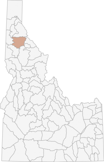
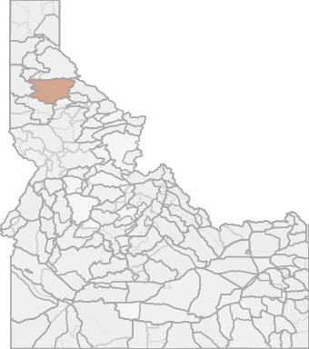
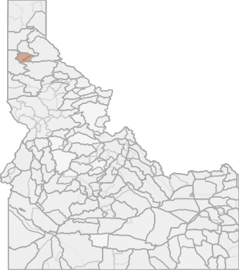
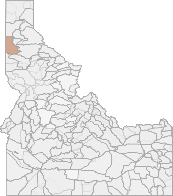
Elk Hunting in Idaho Unit 6 - Panhandle Elk Zone - Panhandle Region - Region 1
The terrain of this area varies from approximately 12% rangeland, 85% forest, and 3% dryland agriculture.
Scores
Access Notes
With A Free Account Get:
- All Access Information
- Satallite and Topo Layers
- Public Landownership Layers
- Roads and Trails Layers
- Burn Layers
- Water Tank Layer (AZ Only)
Those portions of Kootenai, Shoshone, Benewah,Clearwater, and Latah counties within the following boundary: beginning at St. Maries, then downstream along the northern bank of the St. Joe River to Mission Point on State Highway 3, then north on State Highway 3 to the watershed divide between the St. Joe and Coeur d̥Alene Rivers, then east along the divide to the Moon Pass Road, then south on Moon Pass Road to Avery, then west on the St. Joe River Road to the Fishhook Creek Road (Forest Service Road 301), then south on Fishhook Creek Road to Breezy Saddle, then southwest on Forest Service Road 301 to White Rock Springs, then south along the watershed divide between the St. Maries River and Little North Fork of the Clearwater River over Stony Butte to Hemlock Butte, then northwest along the St. Maries River-Potlatch River watershed divide across Bald Mountain to State Highway 6, then northeast on State Highway 6 to the intersection of State Highway 3, then north on State Highway 3 to the St. Maries River, then downstream to St. Maries, the point of beginning.
Elk Notes
With A Free Account Get:
- Toggle between terrain, satellite, and topographic views
- Additional species-specific map layers
- Full screen maps
- Complete species hunting information
HuntScore Tip
The quality of your hunt depends on you. Preseason scouting, preparation for the environmental conditions, and physical conditioning are important factors. The success and quality of your hunt will likely increase with the distance from your vehicle and roads.
Management Plan
State Agency Website
Visit Idaho Fish and GameBusinesses Serving Elk Hunters In Unit 6 - Panhandle Elk Zone - Panhandle Region - Region 1
Advertise Your Business!

Category: Guide/Outfitter
: 555-555-5555
About
Are you an outfitter, hunting guide, game processor or local hotel? Do you have landowner tags, lease land, or have an lodge? Advertise on HuntScore and reach hunters interested in this hunting unit! Send us an email at [email protected] to learn more. Read about advertising on huntscore here
Photos and Terrain Notes
The terrain of this area varies from approximately 12% rangeland, 85% forest, and 3% dryland agriculture.
... Create a free account to read the rest of this terrain note!Similar Nearby Elk Units
TrailHead Chatter
With A Free Account Get:
- Ability to read comments
- Ability to post comments
- Ability to upvote and downvote comments