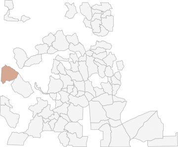
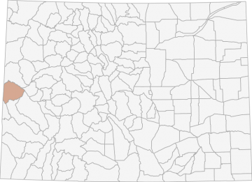
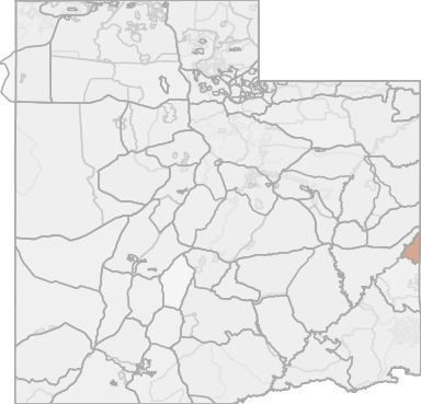
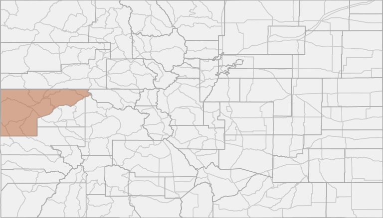
All Hunting in Colorado GMU S56 - Black Ridge
Scores
Scores
User Scores
Ease of Drawing
N/A
Success
73
Trophy Potential
N/A
Public Access
79
Ease of Terrain
85
Room to Breathe
100
Opportunity
20
Convenience
100
Ease of Effort
100
72
HuntScore
Access Notes
With A Free Account Get:
- All Access Information
- Satallite and Topo Layers
- Public Landownership Layers
- Roads and Trails Layers
- Burn Layers
- Water Tank Layer (AZ Only)
Bounded on N by Colorado River and US Highway 50; on E by US Highway 50; on E and S by Colorado Highway 141 and the Dolores River; and on W by Utah.
All Notes
With A Free Account Get:
- Toggle between terrain, satellite, and topographic views
- Additional species-specific map layers
- Full screen maps
- Complete species hunting information
State Agency Website
Visit Colorado Parks and WildlifeBusinesses Serving All Hunters In GMU S56 - Black Ridge
Advertise Your Business!

Category: Guide/Outfitter
: 555-555-5555
About
Are you an outfitter, hunting guide, game processor or local hotel? Do you have landowner tags, lease land, or have an lodge? Advertise on HuntScore and reach hunters interested in this hunting unit! Send us an email at [email protected] to learn more. Read about advertising on huntscore here
Photos and Terrain Notes
Similar Nearby All Units
TrailHead Chatter
With A Free Account Get:
- Ability to read comments
- Ability to post comments
- Ability to upvote and downvote comments