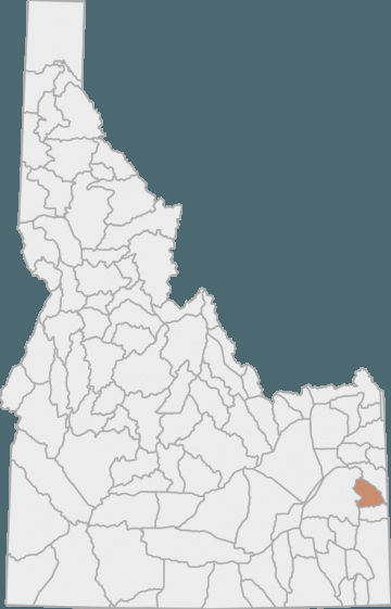
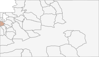
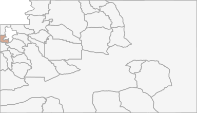
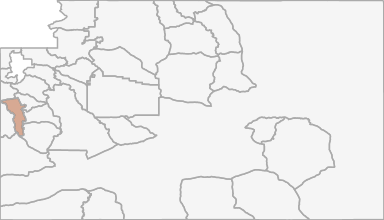
Black Bear Hunting in Idaho Unit 66 - Tex Creek Elk Zone - Upper Snake Region - Region 6
The terrain in this unit is approximately 82% forest, 9% rangeland, and 5% dryland agriculture land.
Scores
Access Notes
With A Free Account Get:
- All Access Information
- Satallite and Topo Layers
- Public Landownership Layers
- Roads and Trails Layers
- Burn Layers
- Water Tank Layer (AZ Only)
Those portions of Bingham and Bonneville counties within the following boundary: beginning at the Idaho-Wyoming state line on the South Fork of the Snake River, then downstream to the Swan Valley bridge on U.S. 26, then northwest of U.S. 26 to the watershed divide between Granite and Garden Creeks, then southwest along the divide and the divides between GardenAntelope Creeks, Antelope-Pritchard Creeks, and Fall-Tex Creeks to the Fall Creek Road (Forest Service Road 077), then west on Fall Creek Road to Skyline Ridge Road (Forest Service Road 077), then south on Skyline Ridge Road to Brockman Guard Station, then down Brockman Creek to Grays Lake Outlet, then upstream along the outlet to the Bone-Grays Lake Road, then east on BoneGrays Lake Road through Herman to the McCoy Creek Road (Forest Service Road 087), then east on the McCoy Creek Road to the Idaho-Wyoming State line, then north to the point of beginning.
66-1 Moose
That portion of Unit 66 north of main Bear Creek except the Pritchard and Garden Creek drainages.66-2 Moose
That portion of Unit 66 south of main Bear Creek.Black Bear Notes
With A Free Account Get:
- Toggle between terrain, satellite, and topographic views
- Additional species-specific map layers
- Full screen maps
- Complete species hunting information
HuntScore Tip
Only non‐Indian owned, fee title lands are open to the taking of wildlife with a Wyoming license. Land status is complicated and lawful access must be investigated thoroughly. Sportsmen are advised it is their responsibility to determine land status prior to entering these areas.
State Agency Website
Visit Idaho Fish and GameBusinesses Serving Black-bear Hunters In Unit 66 - Tex Creek Elk Zone - Upper Snake Region - Region 6
Advertise Your Business!

Category: Guide/Outfitter
: 555-555-5555
About
Are you an outfitter, hunting guide, game processor or local hotel? Do you have landowner tags, lease land, or have an lodge? Advertise on HuntScore and reach hunters interested in this hunting unit! Send us an email at [email protected] to learn more. Read about advertising on huntscore here
Photos and Terrain Notes
The terrain in this unit is approximately 82% forest, 9% rangeland, and 5% dryland agriculture land.
... Create a free account to read the rest of this terrain note!Similar Nearby Black-bear Units
TrailHead Chatter
With A Free Account Get:
- Ability to read comments
- Ability to post comments
- Ability to upvote and downvote comments