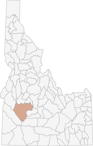
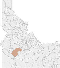
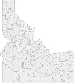
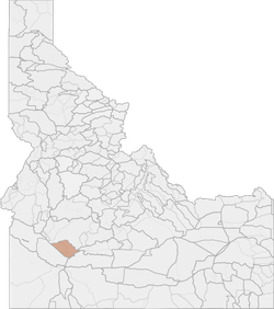
Elk Hunting in Idaho Unit 39 - Boise River Elk Zone - Southwest Region - Region 3
The terrain in this unit is approximately 61% forest, 2% argriculture, and 37% rangeland.
Scores
Access Notes
With A Free Account Get:
- All Access Information
- Satallite and Topo Layers
- Public Landownership Layers
- Roads and Trails Layers
- Burn Layers
- Water Tank Layer (AZ Only)
Those portions of Ada, Boise, and Elmore counties within the following boundary: beginning at the City of Boise, then southeast on Interstate 84 to Mountain Home, then northeast on the Mountain Home-Anderson Ranch Dam Road to Anderson Ranch Dam, then up the South Fork of the Boise River to Fall Creek (center of Anderson Ranch Reservoir), then up Fall Creek to the Anderson Ranch Reservoir-Fall Creek- Trinity MountainRocky Bar-James Creek Road, then north on Anderson Ranch Reservoir-Fall Creek-Trinity Mountain-Rocky Bar-James Creek Road to James Creek Summit, then east along the watershed divide between the South and Middle Forks of the Boise River to the intersection of the Camas, Blaine and Elmore County lines, then north along the watershed divide between the Boise and Salmon Rivers to the watershed divide between the Boise and South Fork of the Payette Rivers, then west along the divide to Hawley Mountain, then northwest along the divide between the Payette River and the South Fork Payette River to Banks, then south on State Highway 55 to State Highway 44, then east on State Highway 44 to Boise, the point of beginning. That portion of Ada County within Veterans Memorial Park and the area between State Highway 21, Warm Springs Avenue, and the Boise city limits Ì closed. Goat: That portion of Unit 39 in the Middle Fork Boise River drainage upstream from, and including, the QueenÌ¥s River and Yuba River drainages.
Elk Notes
With A Free Account Get:
- Toggle between terrain, satellite, and topographic views
- Additional species-specific map layers
- Full screen maps
- Complete species hunting information
HuntScore Tip
The quality of your hunt depends on you. Preseason scouting, preparation for the environmental conditions, and physical conditioning are important factors. The success and quality of your hunt will likely increase with the distance from your vehicle and roads.
Management Plan
State Agency Website
Visit Idaho Fish and GameOther Species in Unit
Deer, Pronghorn, Black Bear, Mountain Lion, Turkey, Gray Wolf, Rocky Mountain Goat,Businesses Serving Elk Hunters In Unit 39 - Boise River Elk Zone - Southwest Region - Region 3
Advertise Your Business!

Category: Guide/Outfitter
: 555-555-5555
About
Are you an outfitter, hunting guide, game processor or local hotel? Do you have landowner tags, lease land, or have an lodge? Advertise on HuntScore and reach hunters interested in this hunting unit! Send us an email at [email protected] to learn more. Read about advertising on huntscore here
Photos and Terrain Notes
The terrain in this unit is approximately 61% forest, 2% argriculture, and 37% rangeland.
... Create a free account to read the rest of this terrain note!Similar Nearby Elk Units
TrailHead Chatter
With A Free Account Get:
- Ability to read comments
- Ability to post comments
- Ability to upvote and downvote comments